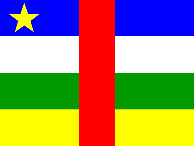
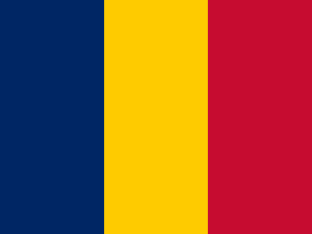
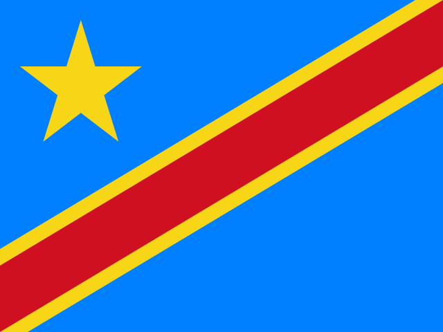
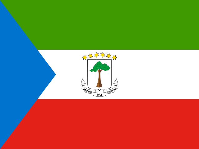
54 countries

Interactive map of Africa

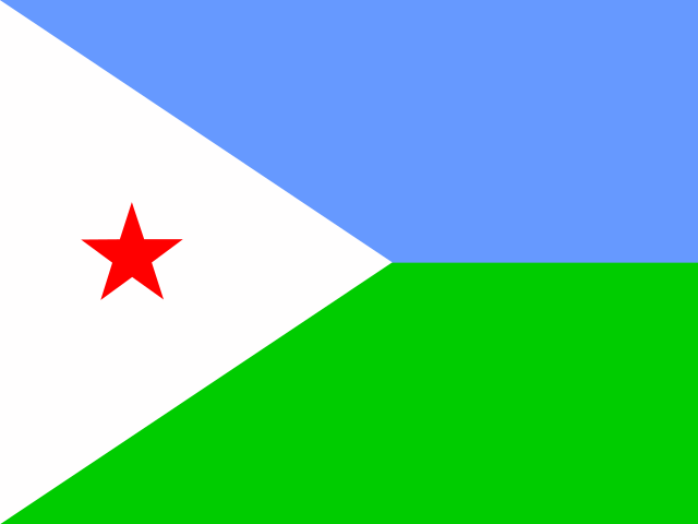
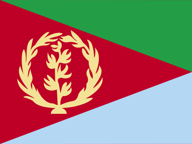
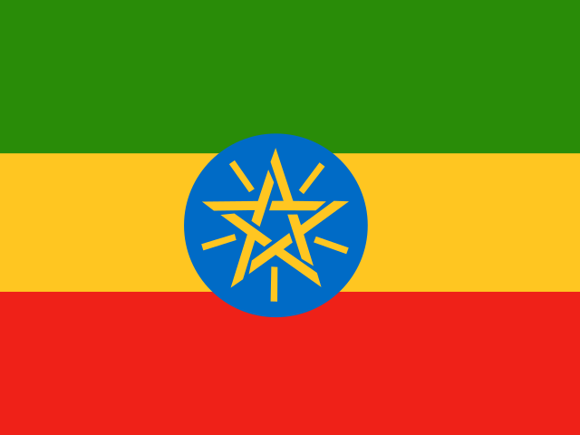
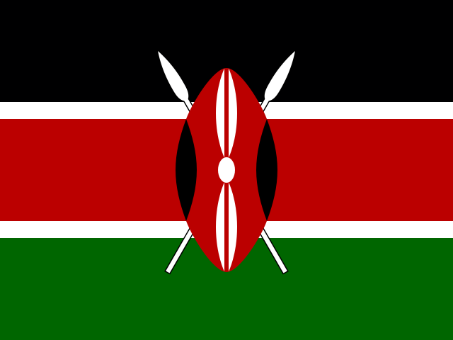
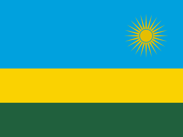
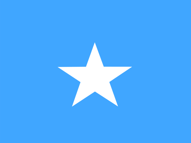
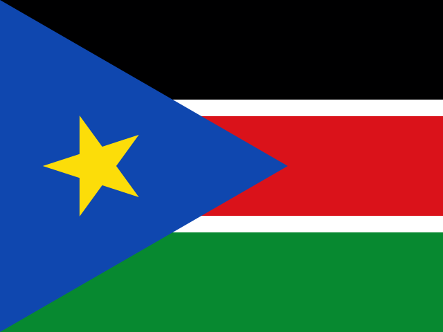
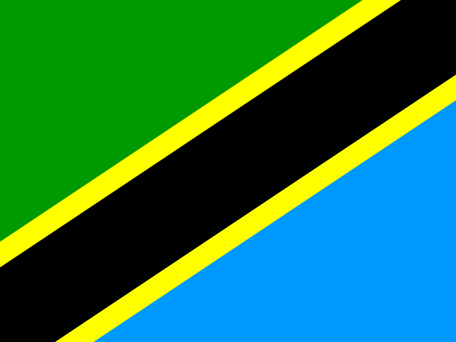
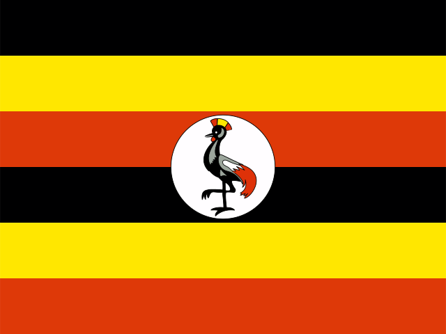
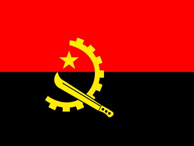
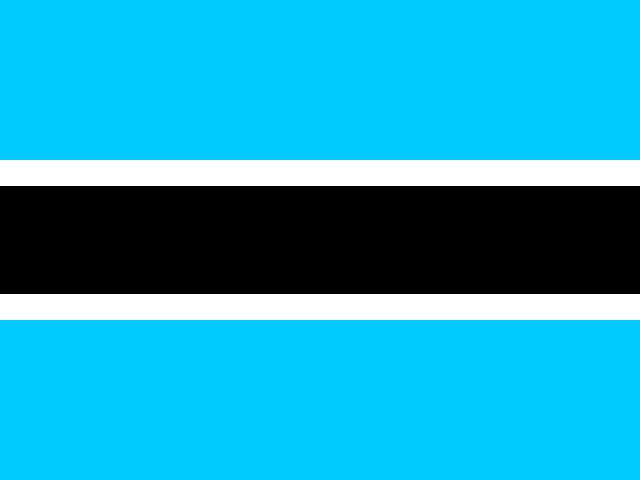
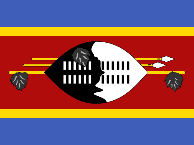
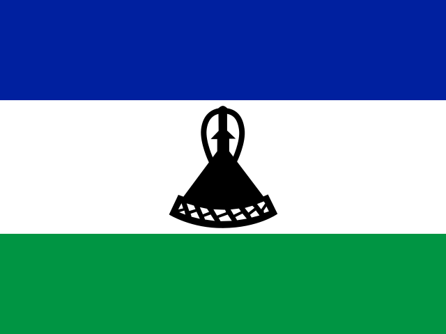
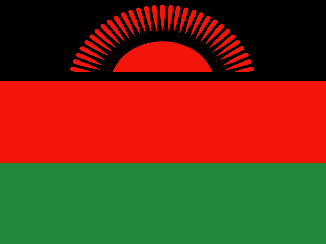
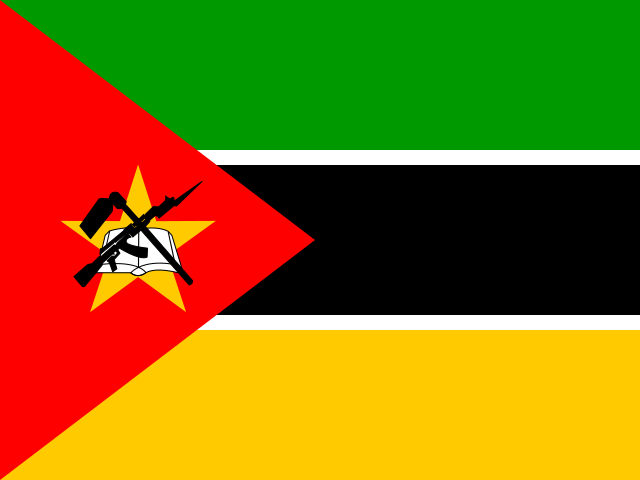
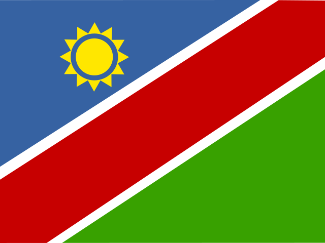
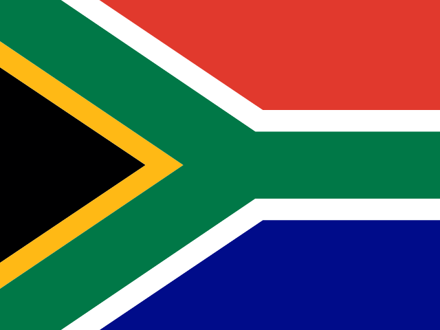
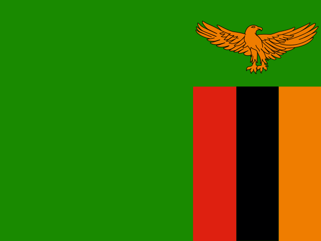
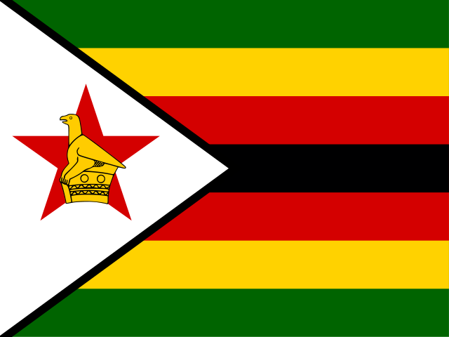
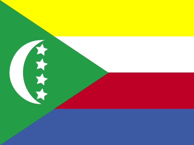
Hover or tap any country to see its flag, capital and best months. Pick a month to light up where it is good to go. Tap again to open the country guide.

ZimbabweZambiaUgandaTunisiaTogoTanzaniaEswatiniSouth SudanSudanSouth AfricaSomaliaSierra LeoneSeychellesSenegalSão Tomé and PríncipeRwandaNigeriaNigerNamibiaMozambiqueMoroccoWestern Sahara (disputed territory)MauritiusMauritaniaMaliMalawiMadagascarLibyaLiberiaLesothoKenyaGuinea-BissauGuineaGhanaThe GambiaGabonEthiopiaEritreaEquatorial GuineaEgyptDjiboutiCôte d’IvoireDemocratic Republic of the CongoRepublic of the CongoComorosChadCentral African RepublicCape Verde (Cabo Verde)CameroonBurundiBurkina FasoBotswanaBeninAngolaAlgeriaCape Verde (Cabo Verde)ComorosMauritiusSeychellesSão Tomé and PríncipeSerengeti National ParkNgorongoro CraterMasai MaraAmboseli National ParkBwindi Impenetrable National ParkVolcanoes National ParkMurchison Falls National ParkZanzibarMount KilimanjaroKruger National ParkCape TownThe Garden RouteHermanusOkavango DeltaChobe National ParkMakgadikgadi PansVictoria FallsHwange National ParkMana Pools National ParkSouth Luangwa National ParkLower Zambezi National ParkEtosha National ParkSossusvlei and the Namib DesertSkeleton Coast and DamaralandFish River CanyonLake MalawiBazaruto ArchipelagoTofoMarrakechFesMerzouga and the Erg Chebbi dunesChefchaouenCairo and the Pyramids of GizaLuxorAswan and Abu SimbelRed Sea coast of EgyptLalibelaSimien MountainsLamuDiani BeachCape Coast and ElminaDakar and Gorée IslandLoango National ParkAndasibe-MantadiaAvenue of the Baobabs and MorondavaPraslin and La DigueLe Morne and southwest Mauritius

Good month Our destination guides Some regions off-limits Advice against travel Disputed

By region
Map data from Natural Earth (public domain). Borders are simplified and shown for illustration; some, such as Western Sahara’s, are disputed.